Autumnal Equinox, Crested Butte
An exploration near Crested Butte on a peak leaf weekend, via a long route over the part of the Ruby Traverse, the Scarp Traverse, Mount Emmons, and Gunsight Pass in the Raggeds Wilderness.
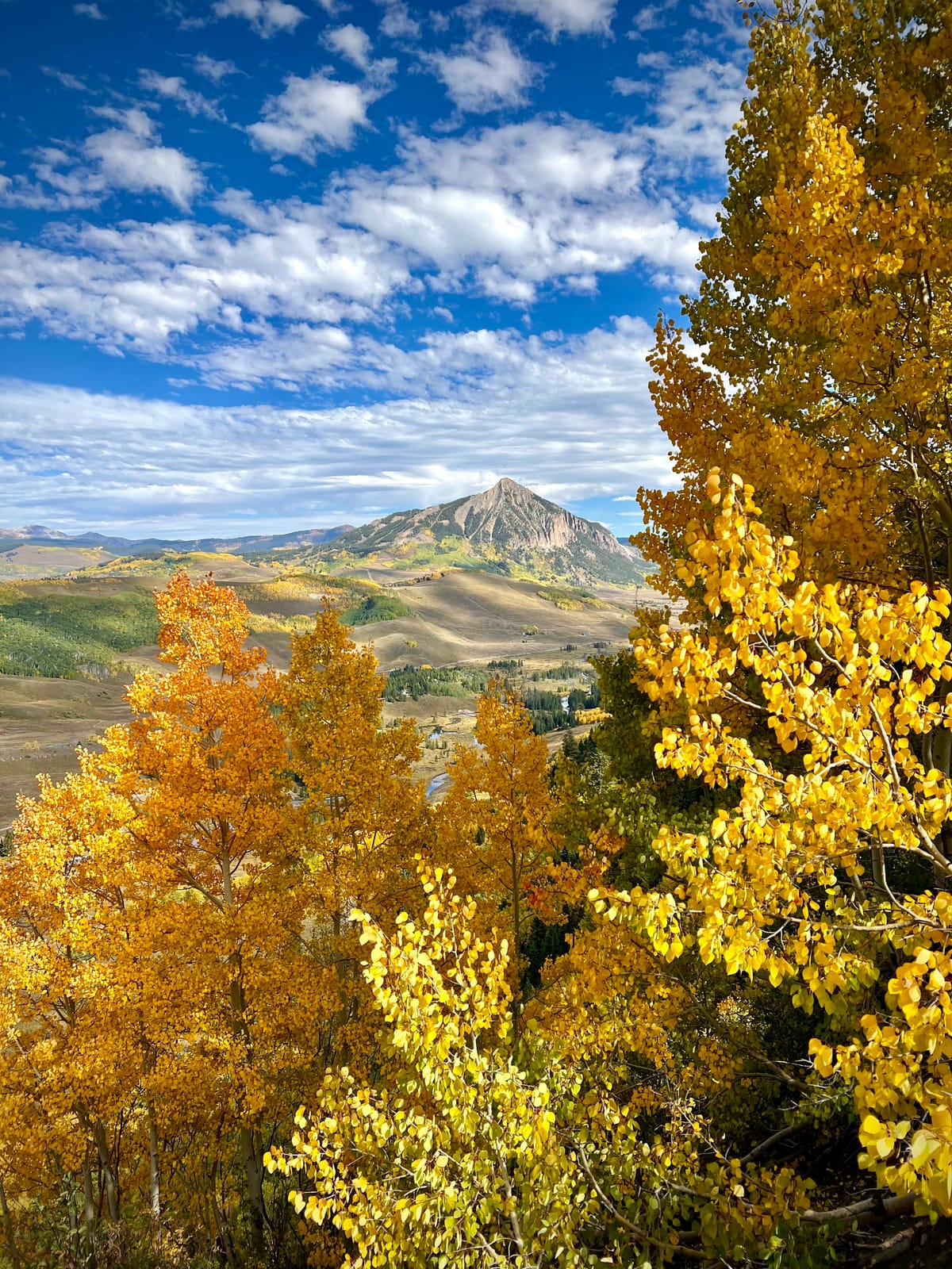
The Ruby Traverse and Scarp Ridge
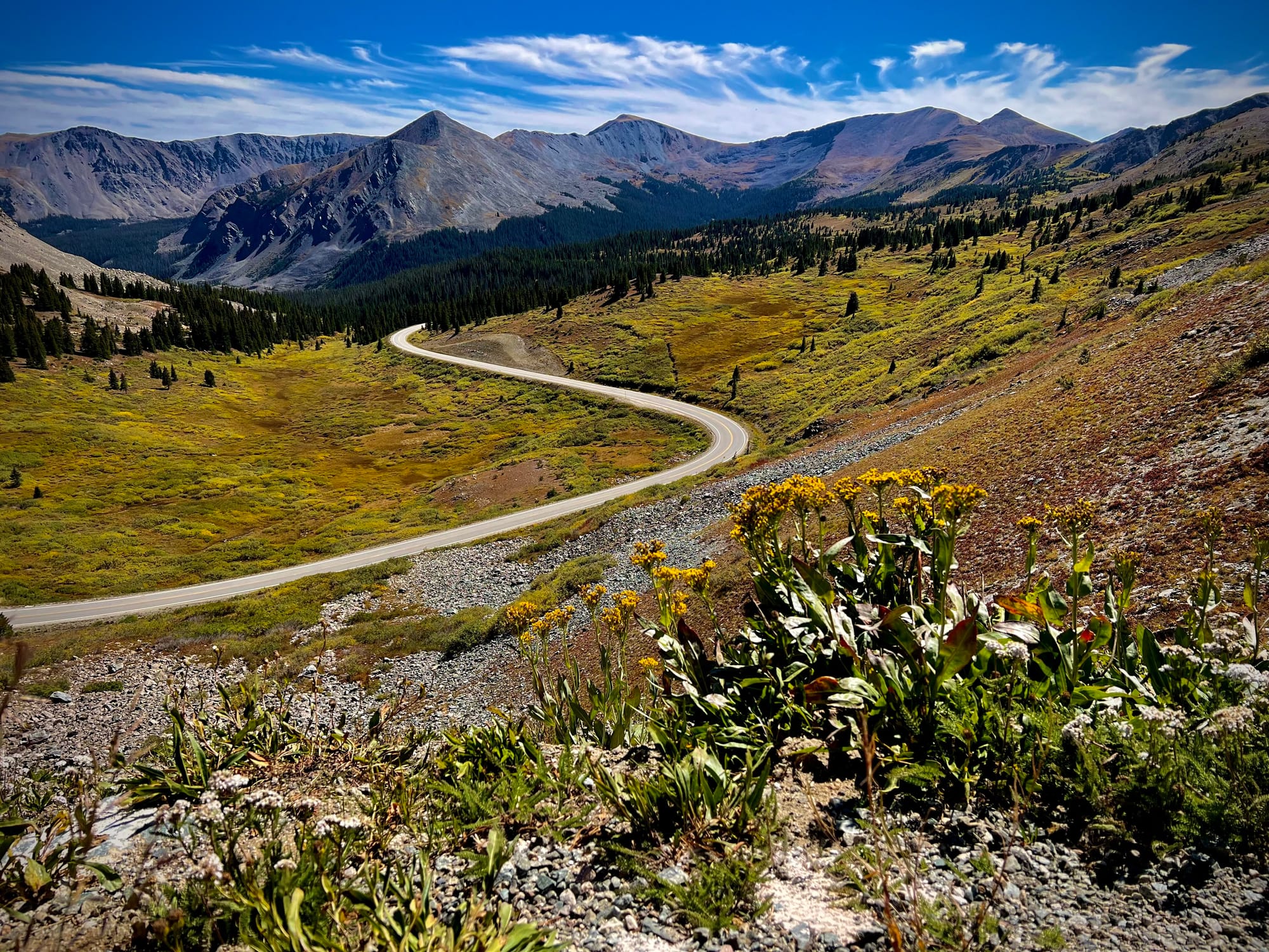
Every year, I make a pilgrimage to the Elk Mountains to bathe in golden leaves around the third weekend in September. This year, as in others, I turned down many bluegrass gigs and outdoor opportunities to protect this tradition. I don't regret the decision.
After making the long drive from the Front Range and getting settled in Mount Crested Butte, I turned my attention to my favorite pastime: planning adventure routes. Having done many of the classic routes in the area before by mountain bike, I was excited to scope out some trail only reachable by foot.
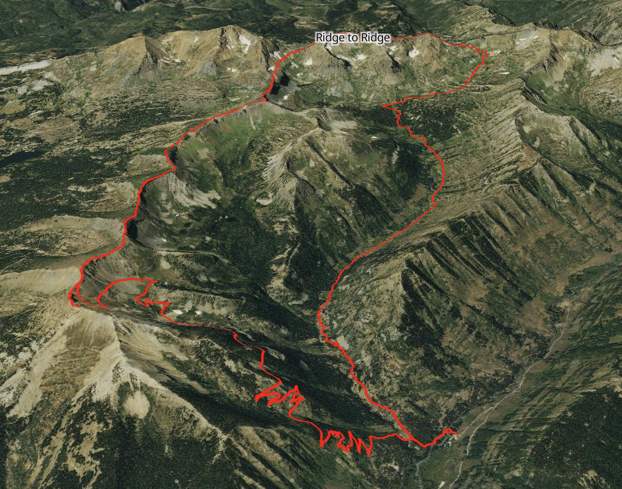
The Route
I decided I had to check out the Scarp Traverse. The Scarp is an 11 mile route with about 1,700 feet of elevation gain. It traces the ridge line east from the saddle above Lake Irwin to Gunsight Pass and then down. But I had an appetite for a bigger day, so I decided to make a loop of it by heading west up the Oh Be Joyful Trail, exploring a bit of the Ruby Range, then connecting to the Scarp before heading back to the start. The overall route was looking to be about 21 miles with 6,000 feet of gain. Perfect.
I'd heard about Oh Be Joyful Trail #835 before, but never had a chance to explore it. In my research, I learned that it's part of the Raggeds Wilderness. I kind of have a thing about collecting wilderness areas around Colorado, so I was pretty stoked to check it out.
The Ruby Traverse had been on my radar for a bit, ever since an area trail runner recommended it to me a couple of years ago. Then I read this 14ers report, and thought the full line might be a bit more sketchy and/or annoying than I was up for. My plan would only allow for a partial traverse, but given its proximity to the Scarp, I figured I might as well tag a few of the Ruby peaks along the way.
As for the Scarp Traverse itself, it looked fun because it was so runnable and traced a stark ridge line the entire way. The only thing that gave me pause was reading online that I shouldn't count on filtering water, because the area at the end was contaminated with heavy metals from mining. I'd just have to camel up at the start, carry as much water as I could, and hope for the best.
Oh Be Joyful Trail
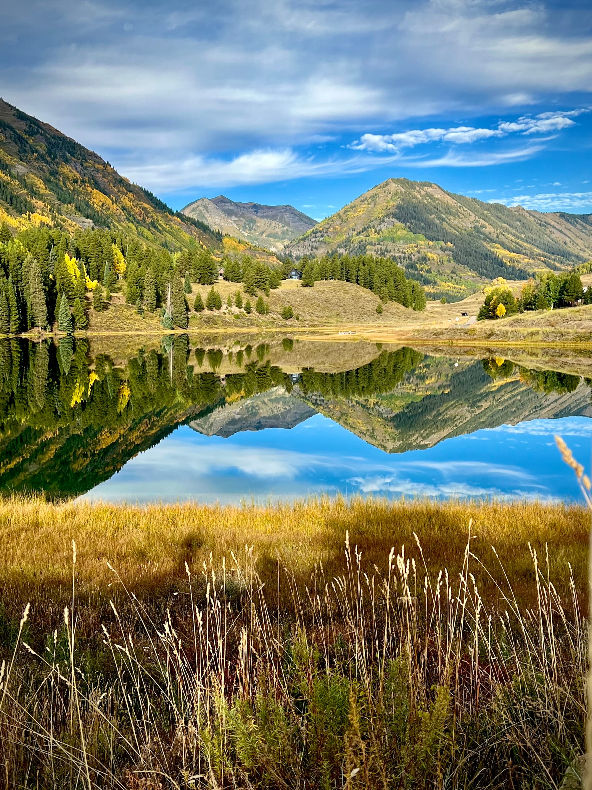
On the day of the run, I drove up Slate River Road on the way to the Oh Be Joyful. There were a lot of photographers out shooting the leaves. I stopped along the road quite a few times to join them. There was a moose in a field that caught my eye, and then I saw an incredible reflection in Nicholson Lake.
Eventually I got to the campground, and found a typical Colorado fall scene. Folks had their tents pitched and campers parked for the day, while mountain bikers pedaled about. Everyone was in a very good mood, on account of the leaves. It was late enough in the morning that there weren't a ton of people milling about the trailhead, so I did my leg swings and got to trottin'.
The climb up Oh Be Joyful was pretty enjoyable. The trail was well-maintained. The grade was steep enough to make me work at running, but not so much I had to switch to a hike. The further I got into the valley, the quieter it became. As the minutes passed, I watched the basin unfurl before me, with splashes of yellow and orange along the sides of the valley. The Ruby Mountains loomed ahead, a cheerful and colorful bunch, if a bit shabby. Various raptors circled above, and the creek kept me merry company as I made the six mile journey up to Democrat Basin.
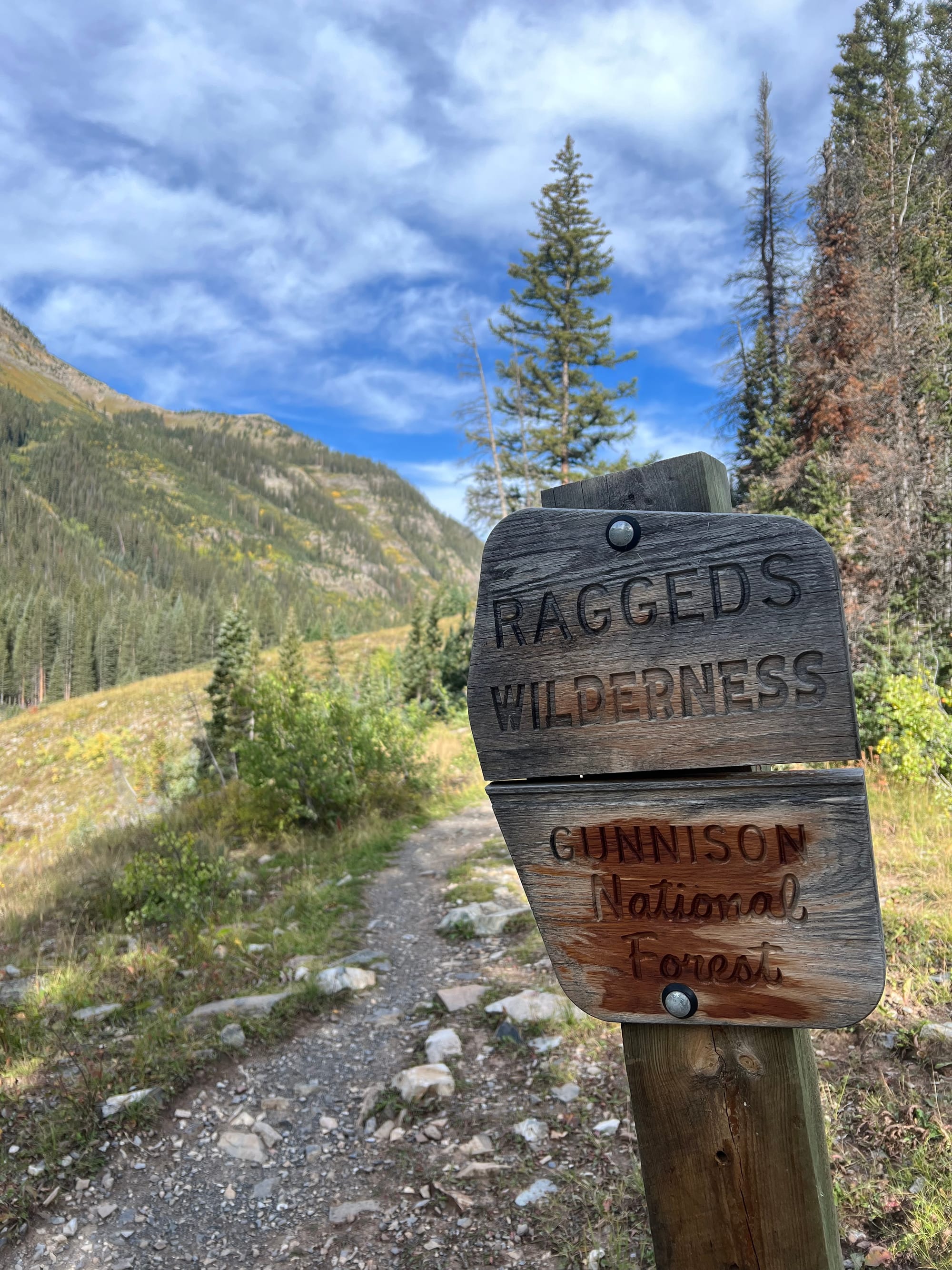
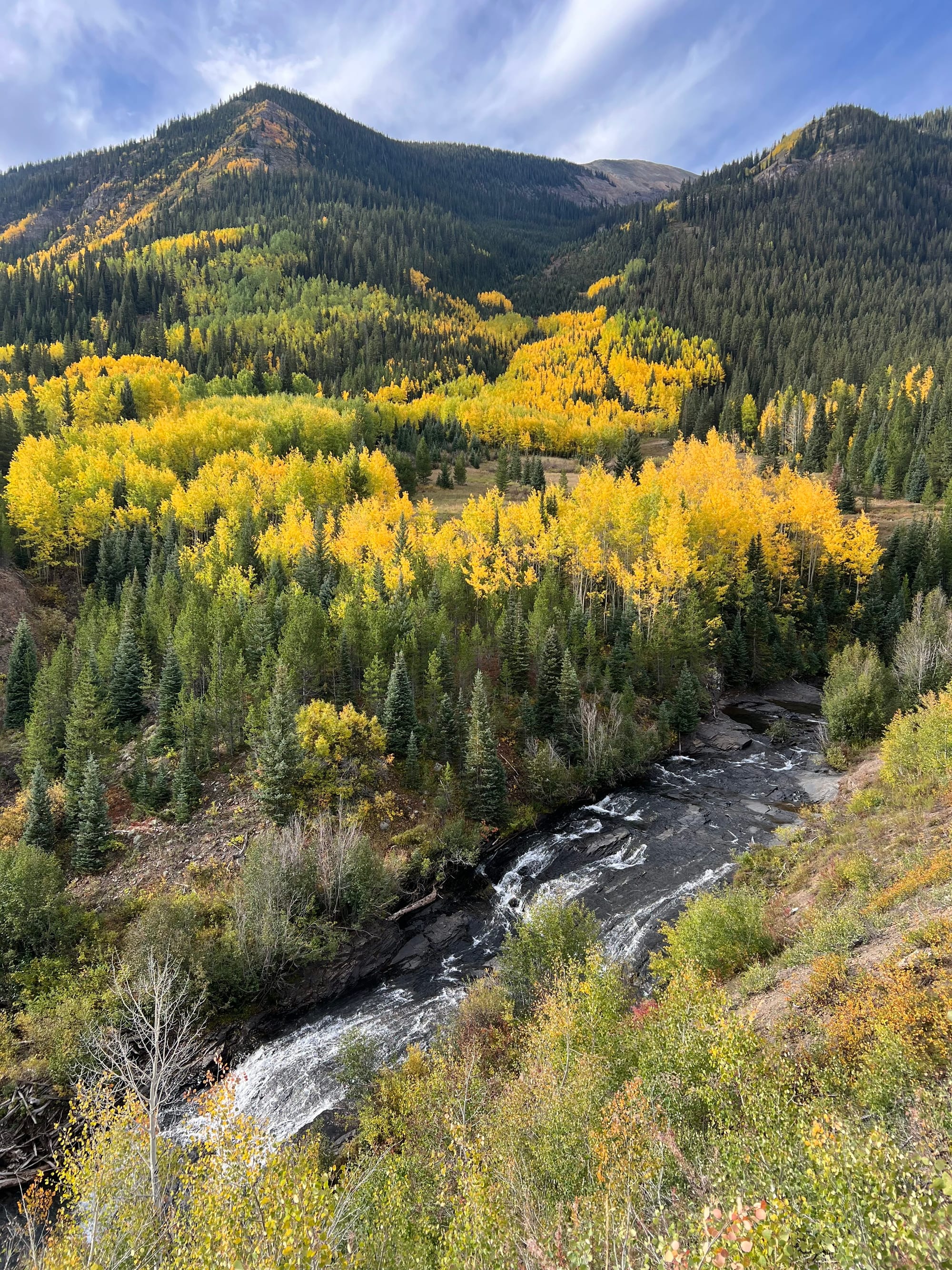
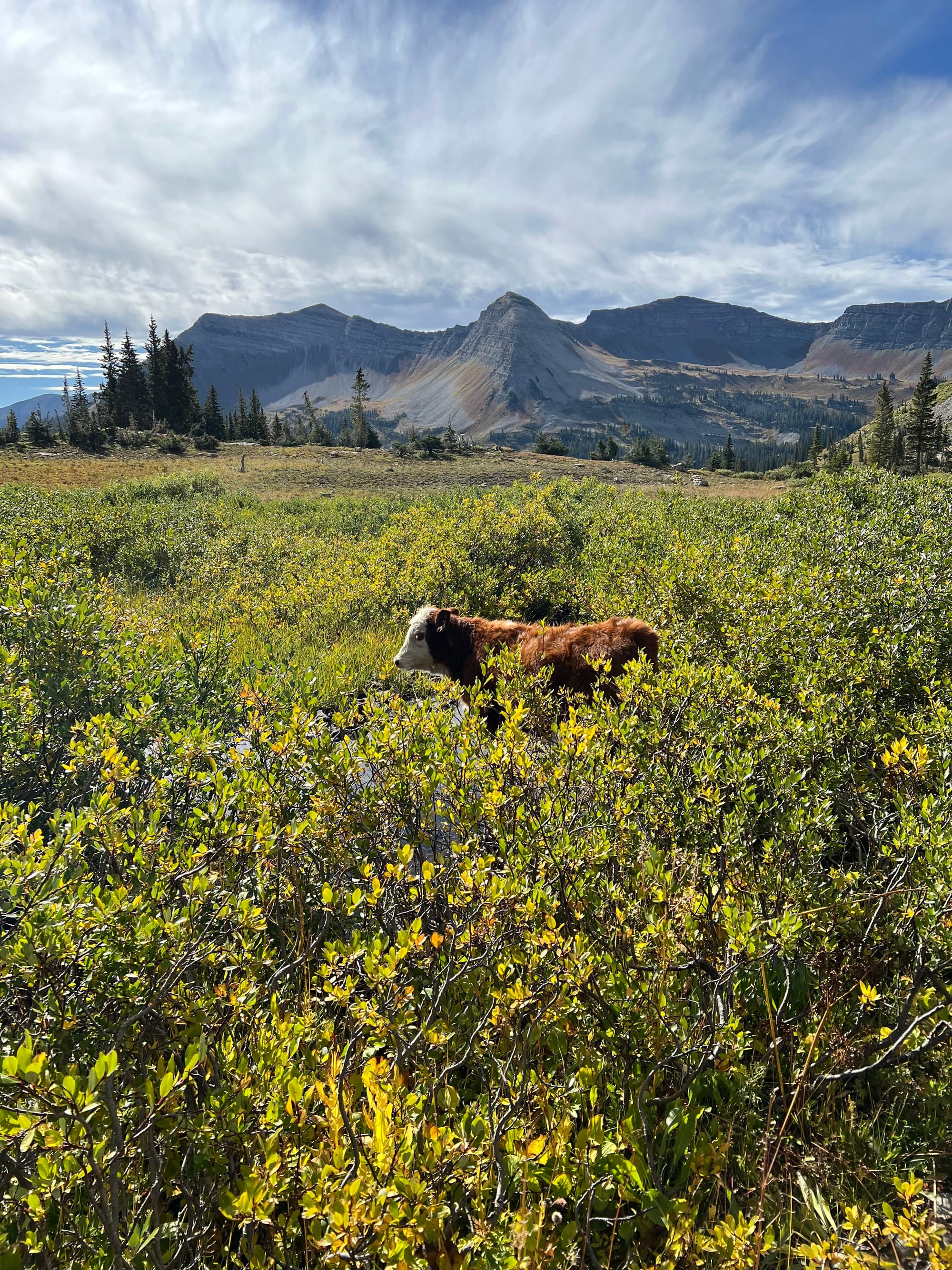
Some views from the climb up Oh Be Joyful trail
At the upper reaches of the valley, dispersed cattle grazed. They gave me side-eye as I made my way through the shrubs to the bottom of Oh Be Joyful Pass. If I'd gone south instead, I would have made it to Blue Lake (a good place for a skinny dip, some locals later confided). Instead, I stopped at a small unnamed lake at the base of the pass to filter water and drink as much as I could. I was about to climb onto the ridge, and wouldn't be off of it for many hours.
The (Partial) Ruby Traverse
Unsurprisingly, the ascent up the pass was steep and rocky. I gained the saddle, then continued climbing straight up a loose hillside to the top of Hancock Peak. By now I was over 12,000 feet of altitude, and the air was getting thinner. Between the scarce oxygen and the relentless gradient of the climb, I was getting pretty hot and damp from sweat. The breeze atop Hancock soon cooled me off, though. And my effort was rewarded with a wide vista of peaks as far as the eye could see to the north. I could make out the continuation of the Ruby Range (which I was now in the center of), as well as innumerable Elks in the Aspen area.
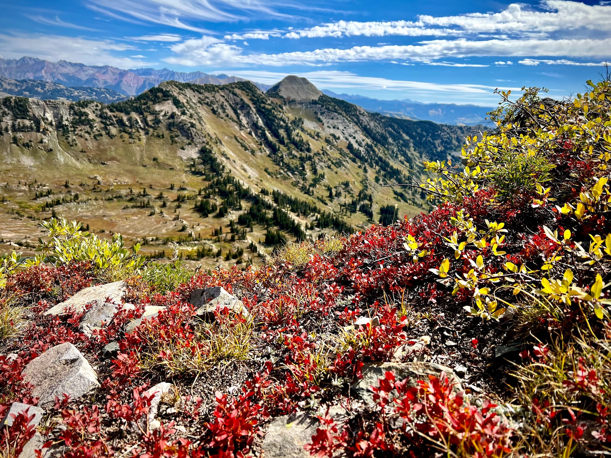
From here, I turned to the south and began to make my way over the chossy ridge to the next summit, Oh Be Joyful Peak. I had a bit of trepidation thanks to the 14er report, but the terrain was actually quite easy for the most part. Having experienced the rotten character of the Elks before, I knew what to expect. Despite some loose rock, there were no moves here that made me sweat.
The next bit—coming down the south slope of Oh Be Joyful—was a little more dicey, but still pretty solidly third class. At one point I stepped around a rock with a bit of exposure below, but the hands felt quite secure, and I'm fairly sure I could have found an easier way if I'd were willing to take a less direct line.
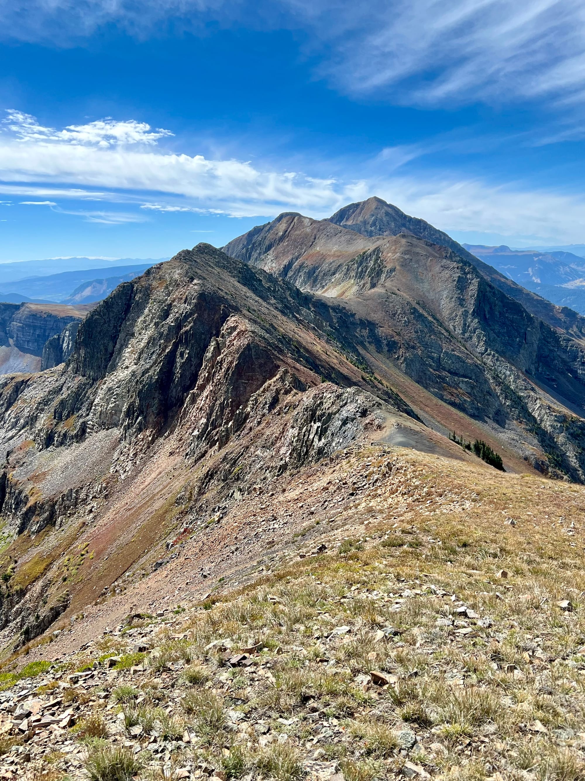
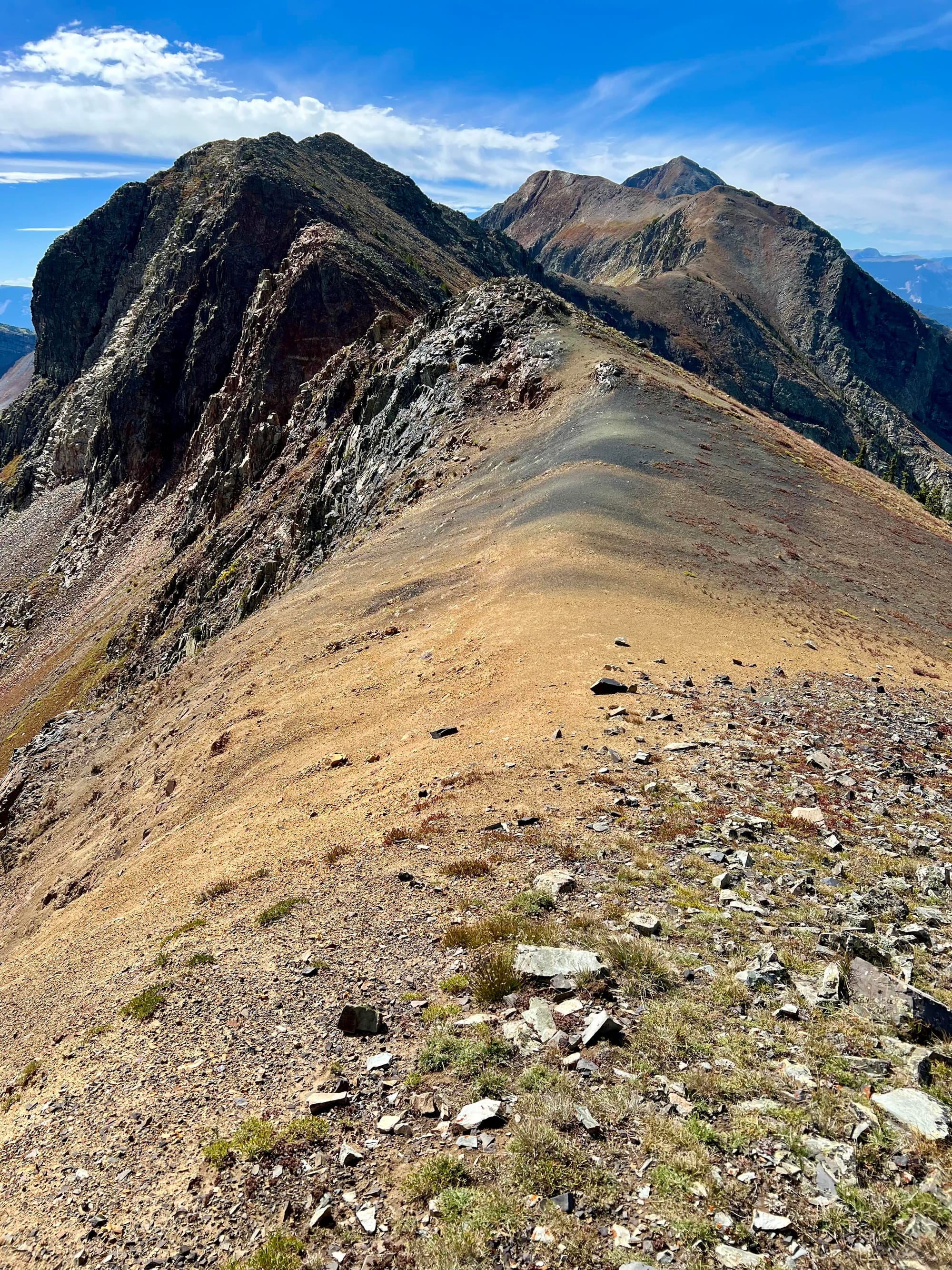
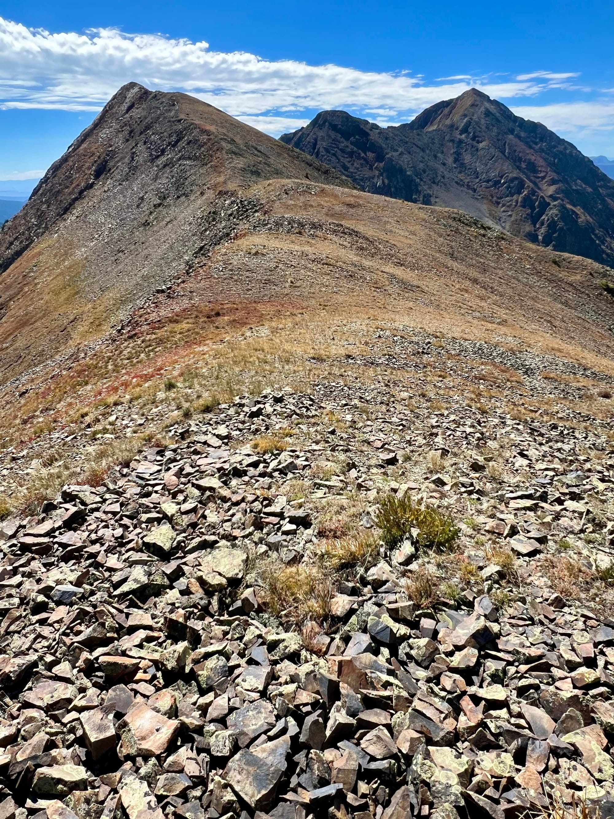
Progressing over the Ruby Traverse from Hancock Peak to Oh Be Joyful and Afley Peaks
From here, it was a long, angled climb up Afley Peak. Once again, the descending south slopes proved a bit tougher than the ascent, mainly due to the steep angle and scree. I maintained the ridge on the way down, though in retrospect, it would have been easier to downclimb a bit to the east instead. At any rate, I soon found myself on a causeway between the two valleys. It was wide enough to feel secure, so I made my way down into the notch between Afley and Purple Peak. Purple was looking like a pretty tough workout, and I was looking for a run more than a climb, so I stuck to the plan and veered east over a talus-covered bench to connect with the beginning of the Scarp Ridge.
The Scarp Ridge Traverse
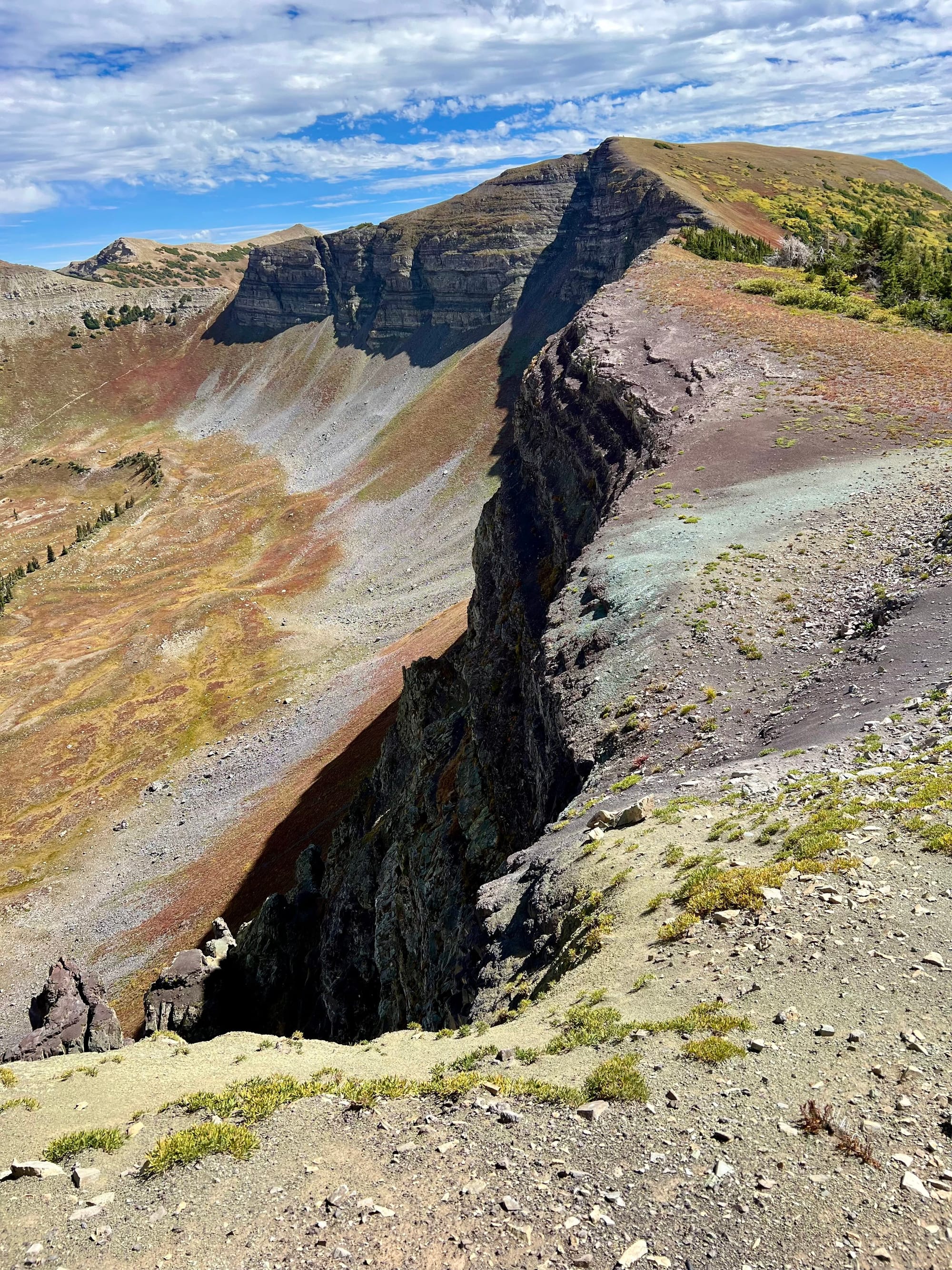
Scarp was a dream after all that time I'd just spent picking my way over rocky summits. In a word, it was runnable. I quickly found a groove, and the miles melted away as I traced the cliff system above the valley. Well, melted might be a little bit of an overstatement; there were also many steep sections.
Some four hours into my day, I saw my first hikers on top of the ridge above Lake Irwin. It seemed like they were coming up from the lake for a day trip. A young woman admonished me: "Don't go too fast!" I assumed this meant she hoped I wouldn't overlook the beauty of where we were. No trouble on that score, I was soaking it up all day long.
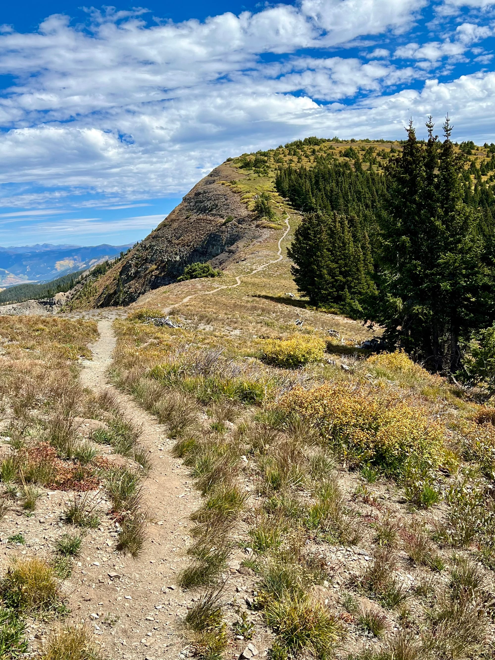
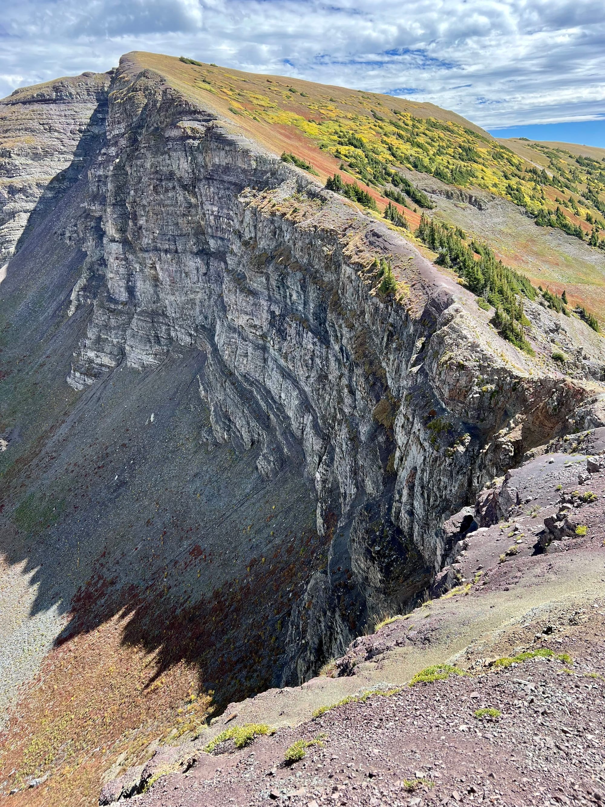
The vibes on the Scarp Traverse
After passing the hiking zone, the trail became a bit of a milk bushwhack through some shrubs. After navigating this, I could see Mount Emmons rising over Gunsight Pass in the distance.
Around this time, I realized I was going to run out of water before finding a fresh source. I started rationing, knowing that I had quite a way to go until I could filter again. Perhaps it would have been a smart decision to forego Mount Emmons to save my energy and get to water more quickly. But alas, I had summit fever, so up I went.

Gunsight Pass
Although I didn't make it all the way to the true summit, I reached the top of Emmons. In the distance, I could see prayer flags fluttering in the wind. I would have liked to investigate, but it was time to rest and reflect on the fact that I still had seven miles of descending to go. I took some photographs and greeted a pair of intrepid hikers and their dog as they neared the top. Finally, I peeled myself off the rock, gave the dog couple a salute, and began the long grind down the loose jeep road.
By now, I was getting pretty thirsty. I kicked myself for not carrying even more water. Four flasks and a lot of prehydrating had seemed like enough, but now I was wishing I had brought a bladder as well. What could all that water have weighed? Surely no more than five pounds, right?
Knowing it was time to grind, I put myself into a trance and just kept my feet turning over. As I went, I eyed the strangely bright and discolored streams, wondering how bad it would be to drink a little. The guy at the bar the night before had told me the story about heavy metal contamination was "overblown". But in the end, I wasn't willing to risk it, so I kept moving as I grew more and more parched. Around this point, I crossed a mountain biker carrying his bike up Gunsight. Given the terrible loose scree, it didn't look very fun.
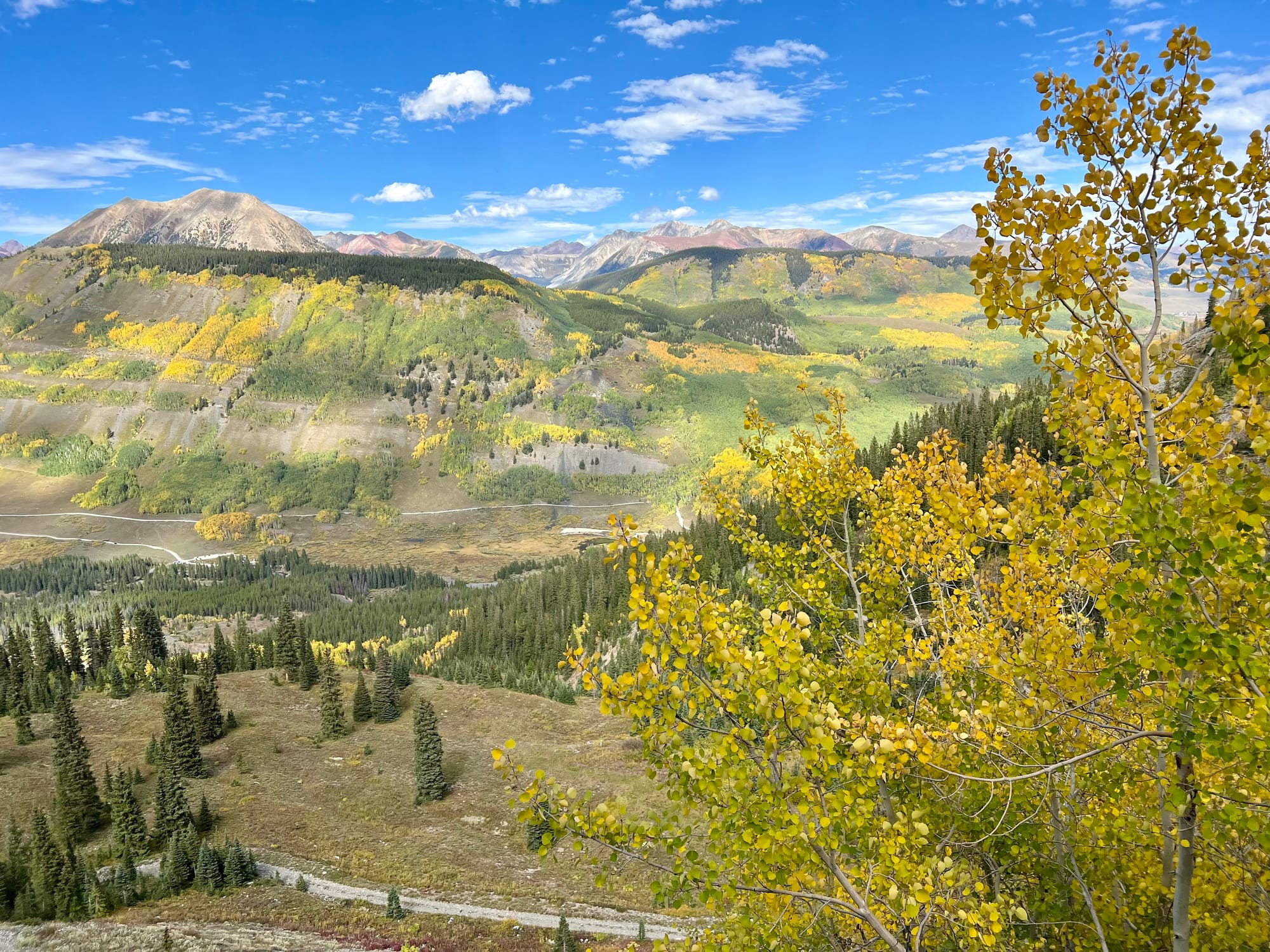
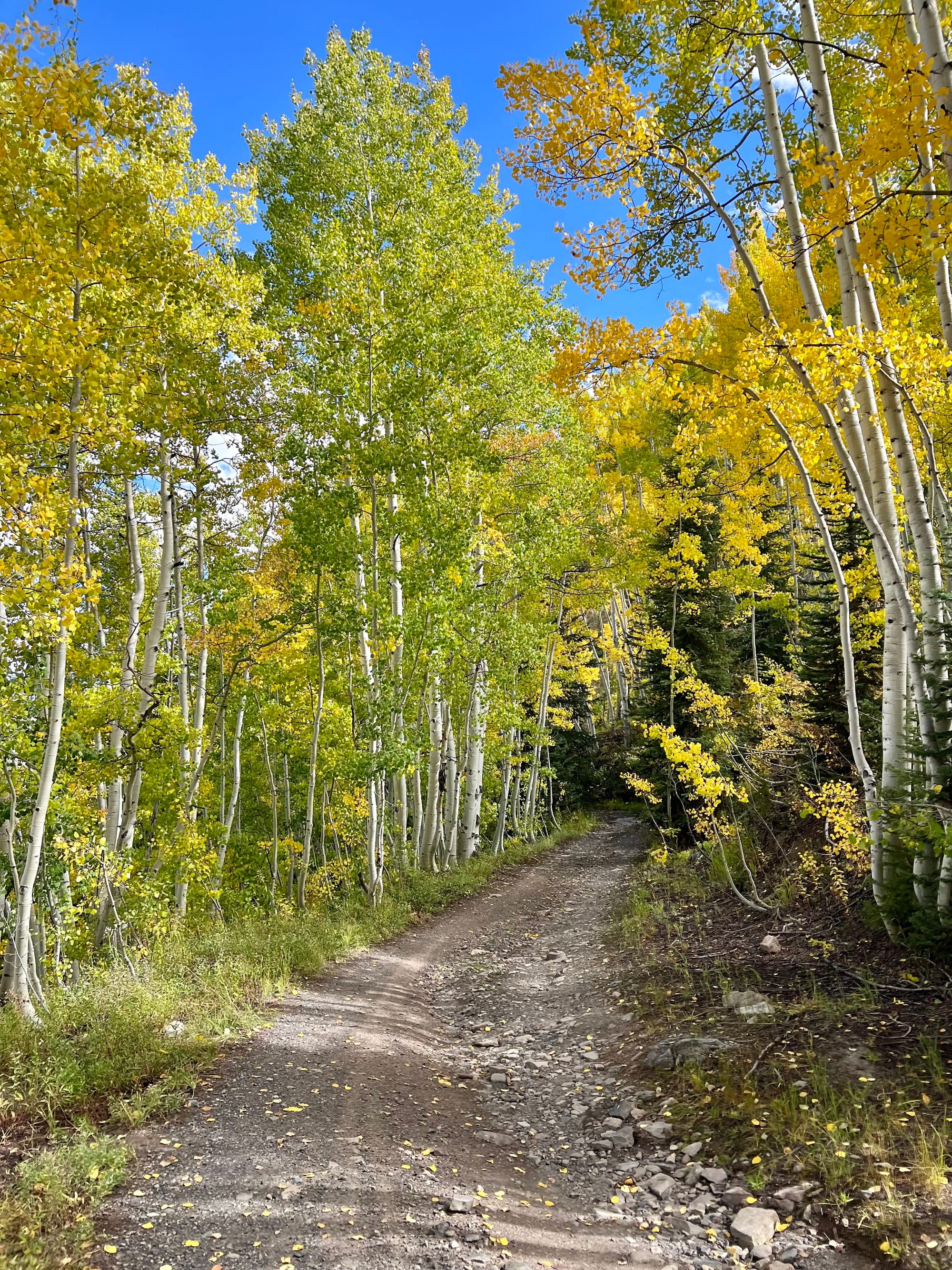
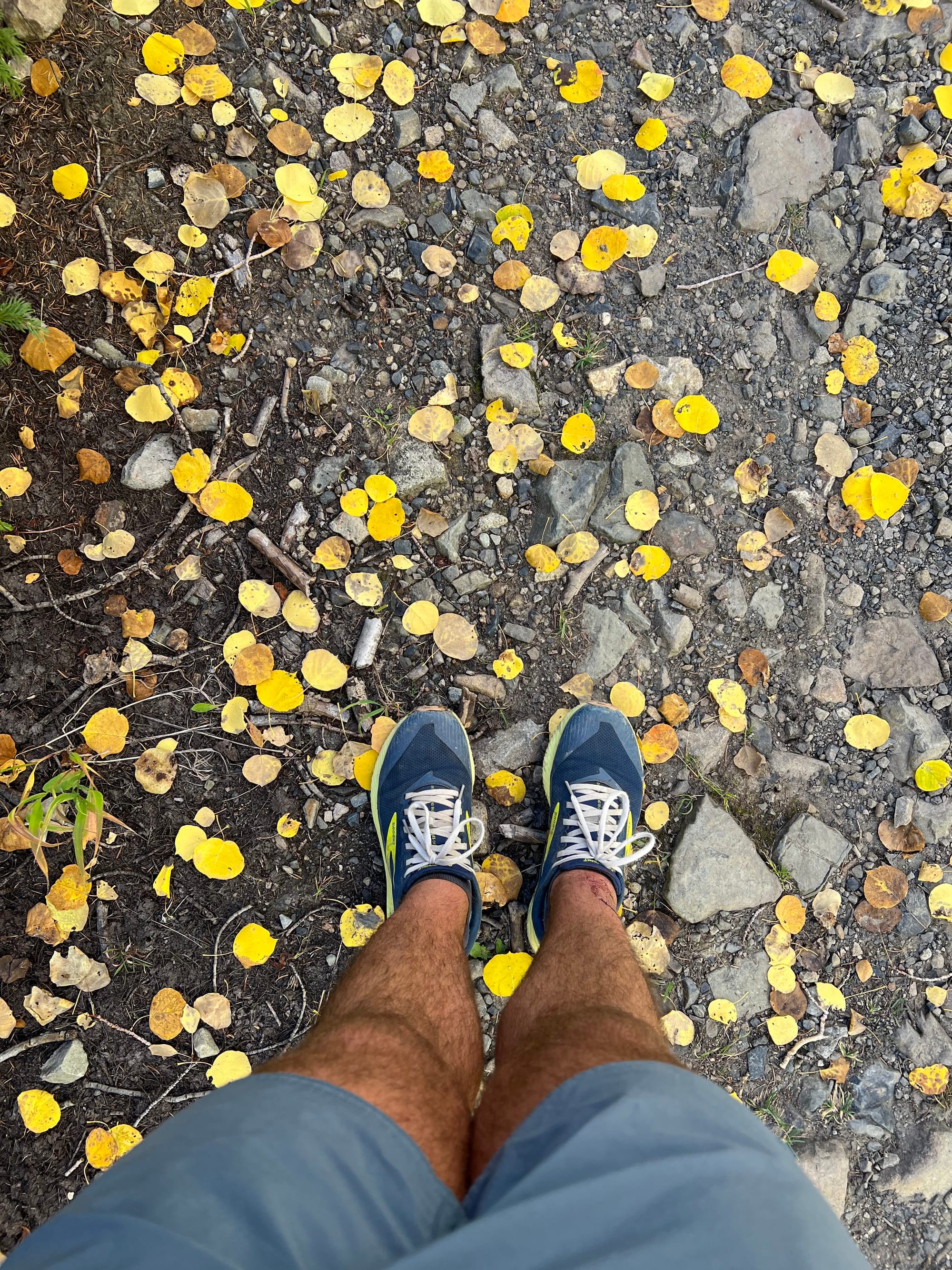
Coming down Gunsight Pass amid very bright yellow leaves
Reaching the End
Over time, I got low enough that I was back among the aspens again. This improved my morale. Between tiny sips from the bottom of my flasks, I snapped pics of the trees and Mount Crested Butte in the distance. More than once, I checked my map to find the most direct cut to get me back to the freshwater creek. It couldn't come soon enough. In the meantime, I was blown away by the brightness of the leaves!
After what seemed like an eternity, I passed through a thick coniferous forest and a sign that said "No hiking this way". Straight down the hillside I went, into the giant slabs of rock that make up the creekbed of Oh Be Joyful creek. In my dehydrated state, the fresh, cold water struck me as the best thing in the world. I wanted everything about it: the sound, the taste, the coolness, the wetness. I threw myself into the water and splashed it all over my head and neck as I drank deeply and greedily. Time slowed to a stop as I finally satisfied the craving that had grown for the past several hours.
Eventually, I felt satisfied enough to finish the last mile of my adventure. Chilly from the water evaporating off my skin, I scrambled up the edge of the creekbed and back onto the trail I'd started on. Almost back to the car, I skipped the bridge and plowed through the creek, just for the fun of being wet.
I got back to the car and congratulated myself on a pretty unique and fun loop. I'd just spent the better part of the day in the wilderness on a peak fall day, and the majority of that on ridgeline. No weather troubles, no crowds, and just enough challenge and spice to make it all worth it.
Later, I headed into town. It was the evening of the community feast held as part of Vinotok, a local pagan celebration. I stuffed myself with hearty locally-grown food, sharing my meal with a local couple, their grown son, and some of his friends. Soon after, I headed back to the hotel for a well-earned sleep.
After a good rest that night, I headed out for the next adventure: mountain biking Teocalli Ridge. That's a story for another day, but I'll leave you with a couple pictures from the ride, as it was another stunner of a day. It's hard to beat Crested Butte on the equinox.
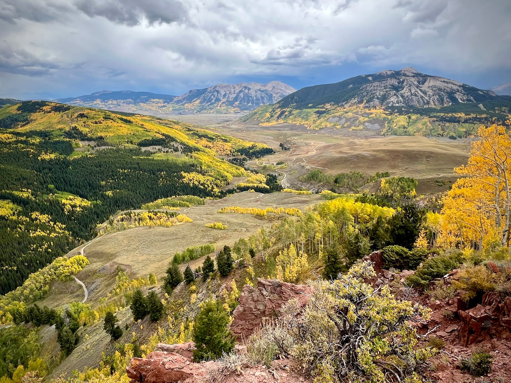
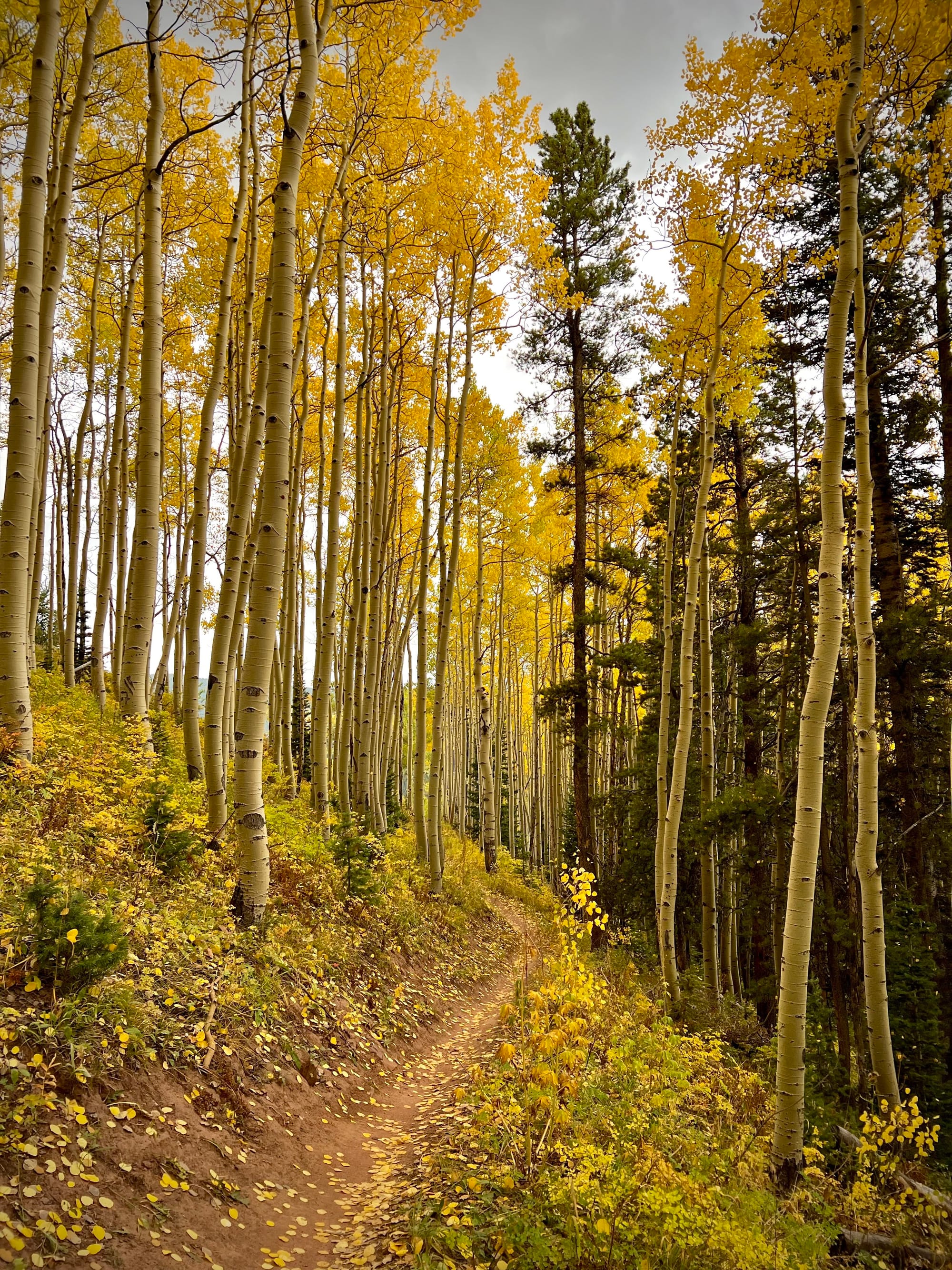
Brush Creek area and part of the Teocalli Ridge loop
